A neighborhood in Escambia County’s District 5 shows the problem with flood maps used by the Federal Emergency Management Agency (FEMA).
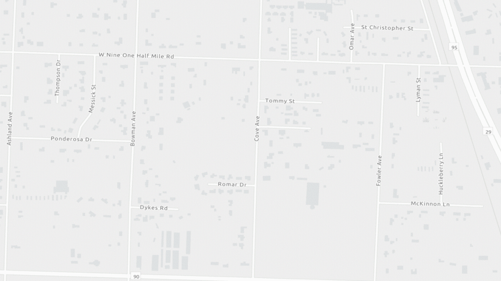
- The problem: Despite routine flooding, homes near stormwater ponds on Cove Avenue and Ponderosa Drive do not stand in a FEMA flood zone. These homeowners do not have to purchase a National Flood Insurance Program (NFIP) plan and may not have the coverage they need.
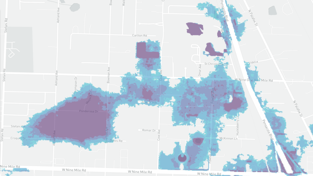
- Yes, but: New flood maps from the non-profit First Street Foundation show 30% of Escambia homes — including those around Cove Avenue and Ponderosa Drive — are at risk and have a greater than 26% chance of flooding over the life of their mortgage. Unlike FEMA’s maps, these maps factor in flooding from rainfall, the effects of adaptation measures, and expected changes in sea level and storm intensity.

FEMA’s map doesn’t show flood risk for the Butlers’ neighborhood, unlike the newer map from First Street Foundation that shows a lot of risk.
The takeaway: These homeowners were told they did not live in a floodplain but many have flooded recently, notably during the historic 2014 rainstorm and Hurricane Sally in 2020. Now many need to demand buyouts, while others need the county to improve the stormwater ponds.
Take action: Flood Defenders Darlyn Butler, her brother Skip Butler, and Flood Defenders’ Technical Advisor Chris Curb have asked Commissioner Steven Barry to provide buyouts and fix the ponds. Join them and other Flood Defenders by demanding action from the Escambia County commissioners.

