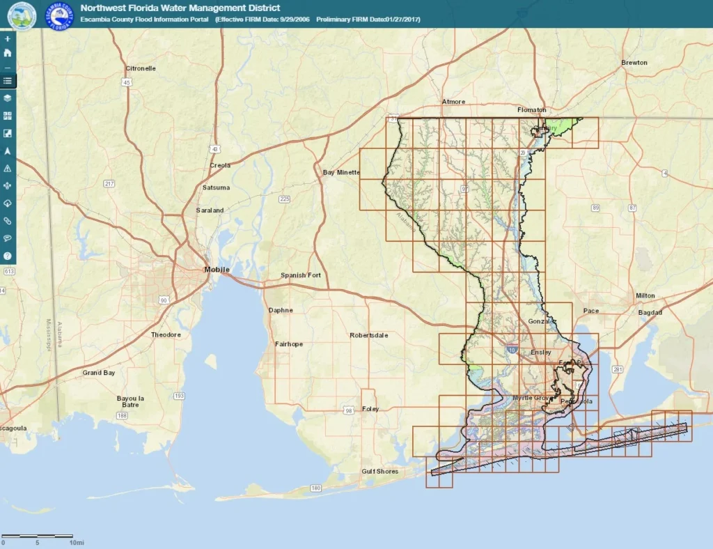
Escambia County has released the preliminary results of a multi-year project to update the county’s flood maps, but they still don’t accurately reflect the county’s risk.
- Big picture: Hurricane Sally damaged tens of thousands of properties without flood insurance and revealed flaws in FEMA flood maps across Florida and Alabama.
- Why it matters: Using inaccurate flood maps underestimates the number of at-risk homes in Florida, leaving homeowners unaware of their risk and counties investing in the wrong areas.
- Yes, but: Escambia’s new maps more accurately depict flood risk but still fail to account for rain-related flooding and new flood projections.
What they’re saying: In comparison to 2008’s 11-Mile Creek Basin Study, some of the preliminary maps still do not have accurate flood plains, says the county’s former stormwater engineering manager and Flood Defenders advisor Chris Curb.
What’s next: The public has a few months to submit appeals. The maps and new insurance requirements will become effective in early to mid-2022.